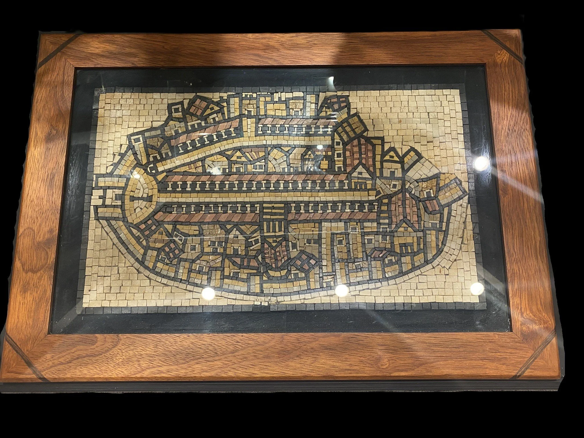
Type: Replica of the Medeba Map
The modern Arab village of Medeba (Madaba) is built on the ruins of biblical Medeba. During construction of the Church of Saint George, the beautiful “Madaba Map” was found. This map was originally part of the floor of a Byzantine church, built during the reign of emperor Justinian, 527-565 AD. It is the oldest map of the Holy Land in existence. The map is in the center of the modern church. At a length of 34 1/2 feet long and 16 1/2 feet wide, only about 1/3 of the original map still exists. The walls are visible around the big cities, including Jerusalem, Jericho, and Ashdod. Jerusalem is the focus of the map. Clearly visible are the north-south cardo and valley streets (lined with columns), the Damascus Gate Plaza and pillar, the city walls, the Church of the Holy Sepulcher, the Church of Holy Zion (Hagia Sion), and Justinian’s “Nea” Church.